 B&B Miami Beach
The Alta Versilia trail
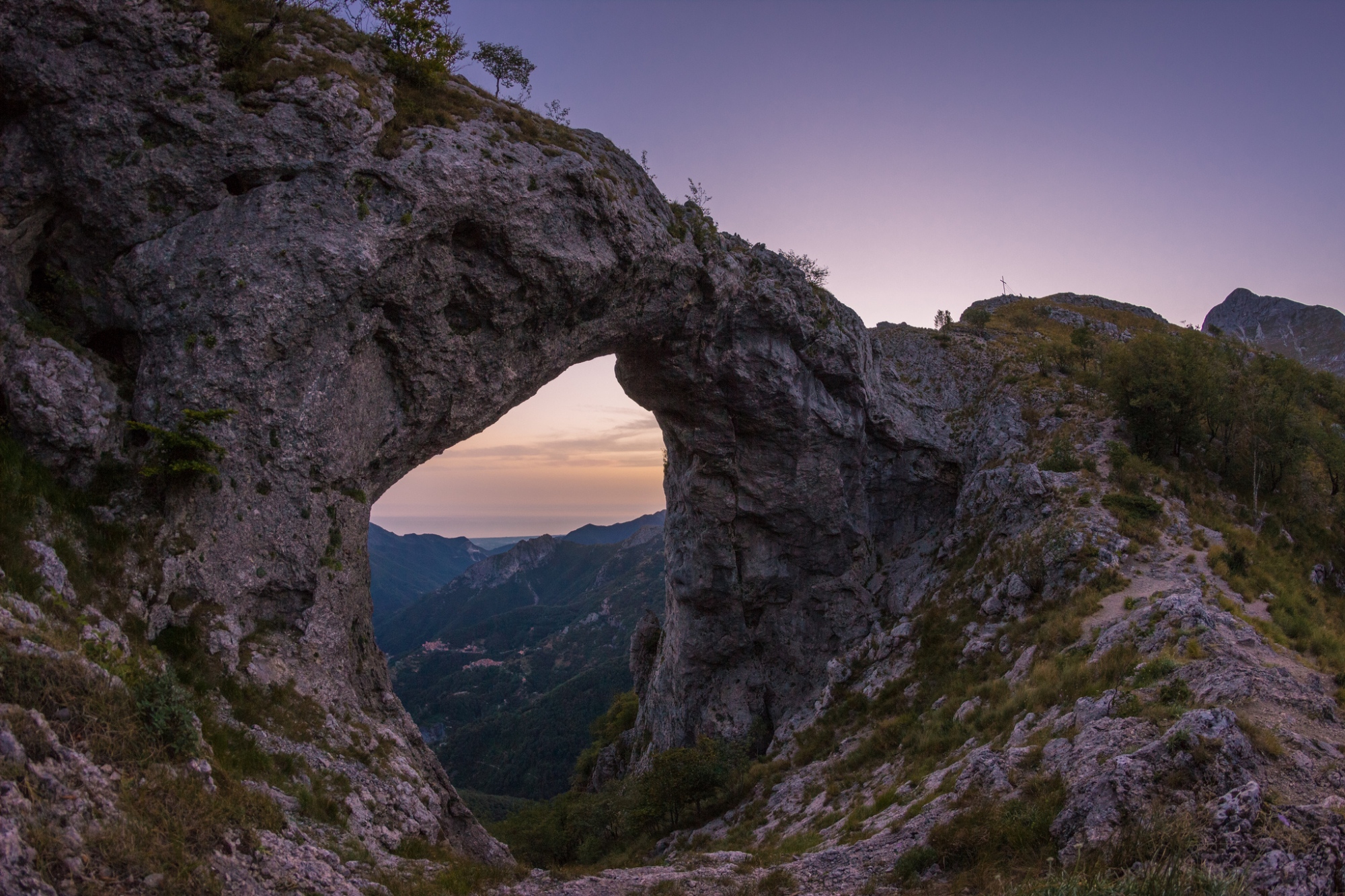
The Alta Versilia trail will introduce you to the beauty of the Apuan Alps mountains,
protected regional park.
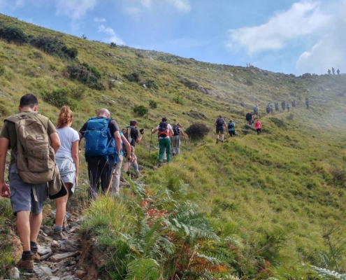
The route is in the shape of a ring and connects all the symbolic villages of the area through
mule tracks and paths, walking along these paths smells not only nature but also
art and history.
Versilia is famous for its artistic side and in these paths you will be able to see young sculptors
and painters who let themselves be carried away by the beauty of the territory.
The territory is rich in history, during the Second World War the territory was the seat of the Gothic line in
which the resistance fought against the Nazis, in fact in the paths you can still find many relics, from
cocoons of bullets in bunker, as well as numerous monuments that recall the heroic deeds of the
partisans locals.
The stretch that passes through the town of Sant’Anna di Stazzema, the site of one of the most, is
especially emphasized great Nazi massacres in which more than 500 civilians lost their lives, in which
there is a beautiful monument that bears the names of all the fallen.
The natural landscape is not to be underestimated, passing from the rock of the highest mountains to the
cool woods near the small villages with the blue sea in the background.
The trails are passable all year round as the altitude is not high and the paths are almost
entirely under the shade of the trees.
The 12 stages of the ring are: Seravezza – Riomagno – Fabbiano; Fabbiano – The Chapel – Minazzana;
Minazzana – Basati; Basati – Cave del Giardino – Terrinca; Terrinca – Levigliani; Levigliani – Retignano;
Retignano – Volegno – Pruno; Pruno – Cardoso – Stazzema; Stazzema – Le Mulina – Farnocchia;
Farnocchia -Sant ‘Anna di Stazzema; St. Anna – Capezzano Monte – Capriglia;
Capriglia – Solaio – Vallecchia – Seravezza.
Difficulty of the paths
The Alta Versilia trail has different degrees of difficulty: from those suitable for families to those only for
expert hikers each indicated with their own code:
T routes (tourist route) these routes are suitable for everyone, they extend over mule tracks and wide
paths with a low slope and short travel times.
Routes E (hiking routes) these trails are more challenging and are found on different types of
terrain, you can cross pastures or very steep slopes therefore require experience in
mountain trails, as well as good walking skills.
EE routes (itinerary for expert hikers) these routes are much more challenging and
they are passable only for expert hikers, the paths are inaccessible and very steep
and even the signs are more difficult to find, proper equipment and maximum attention is recommended.
We remind everyone that safety is the most important thing so it is recommended to check
always the weather forecast, suitable clothing and appropriate shoes, in case of need call the
112 specifying that it is alpine rescue.
The mountains are a common good therefore it is absolutely FORBIDDEN to throw waste into the
environment, we also remind you that in the summer period there is a PROHIBITION OF LIGHTING FIRE.
Discover the complete map of the itinerary

